Revitalization of the inland canal and groundwater protection in Sevelen
Michael Ballmer, 11. Mai 2021
The existing groundwater model of the Alpine Rhine Valley has been successfully used for the legal specification of the protection zone for the revitalization project of the Werdenberger inland canal.

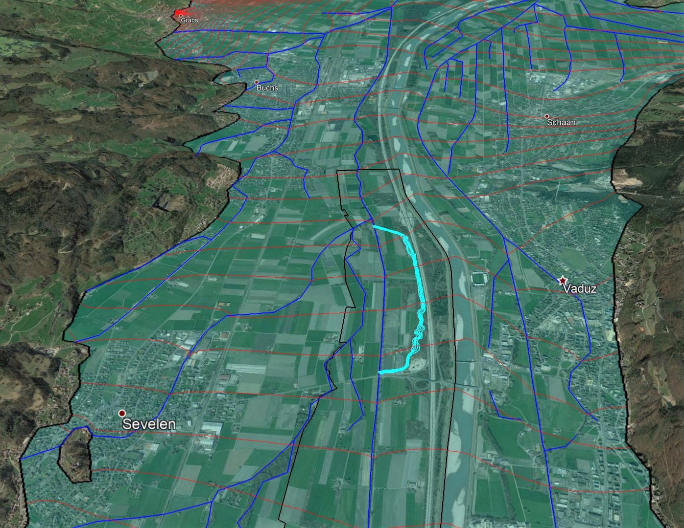
The Werdenberger Binnenkanal-Unternehmen is planning the revitalisation of the Werdenberger inland canal in Sevelen. Between the Rheinstrasse bridge and the border of the municipality of Buchs SG, the inland canal will be rerouted. In the future it will run parallel to the motorway. The project is within the existing groundwater protection area “Werdenberg Süd”, which extends from Weite over Sevelen to Buchs SG. Five sub-areas within the protection area are of type “future protection zone S2”. One is located within the perimeter of the revitalization project. Preliminary to the approval of the revitalisation project, a definitive, legally binding protection zone S2 must therefore be designated.
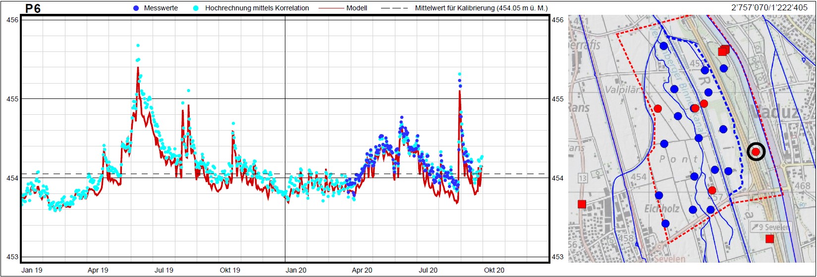
The existing 2D groundwater model of the Alpine Rhine Valley has been used to calculate the catchment areas of potential well sites for different hydrological conditions. The calculations were done for the future situation with consideration of the new watercourse of the inland canal. For accuracy reasons the large-scale regional model of the Alpine Rhine Valley was locally converted into a 3D model. In addition, latest measurement data from the canton St.Gallen and the geology office Dr. Bernasconi AG were used for a local recalibration of the model. The company Dr. Bernasconi AG is responsible for the hydrogeological monitoring of the project.
The results of the calculations serve as basis for the dimensioning of the definitive protection zone S2 and therefore enable the realization of the revitalization project of the Werdenberger inland canal.

Contact person

Michael Ballmer
Dipl. Civil Eng. ETH
Project manager
| Tel.: | +41 (0) 44 288 81 84 |